
// About
Professional Drone LiDAR, Run Like a Profession
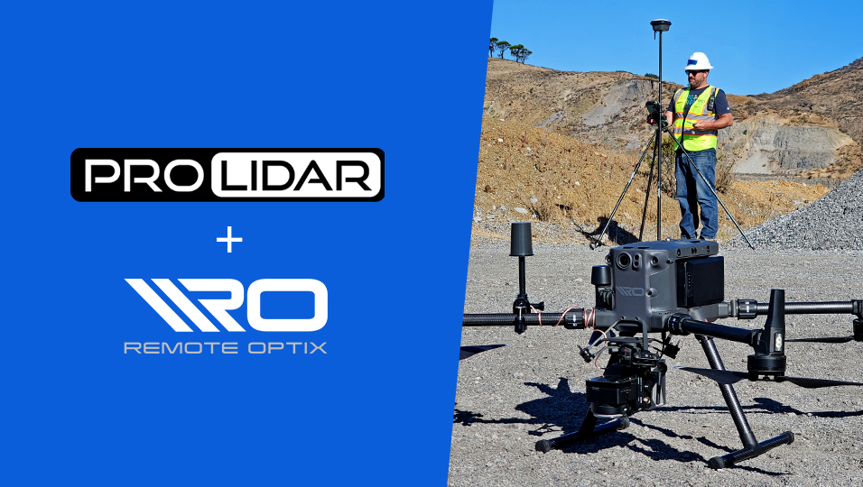
Pro LiDAR is a Remote Optix Inc. company built around one idea: professional aerial LiDAR capture should be cost-effective, easy to buy, and scoped so carefully that nothing drifts between the quote and the delivery.
- FAA-Certified Pilots
- Licensed Surveyor Partners
- Serving All 50 States
- 24-Hour Quote Turnaround
01// The Company
Who We Are
Pro LiDAR is a Remote Optix Inc. company. Our goal is simple to state and hard to execute: the most cost-effective, easiest-to-use professional aerial LiDAR capture and deliverable solution for customers of all sizes — from a single-site scan for a small firm to recurring multi-state programs.
We deliver that by contracting with vetted, FAA-certified drone LiDAR pilots across the United States. Capture happens locally, near your site, by a pilot we've screened for equipment, credentials, and track record — then every dataset flows through one national processing and QA standard, so a scan in Montana meets the same bar as one in Georgia. You work with one company, one point of contact, and one quality standard, anywhere in the country.
We take professionalism seriously, and in this business professionalism mostly means asking questions before the flight instead of apologizing after it. Coordinate system, vertical datum, contour interval, vegetation conditions, access constraints, certification needs — we pin all of it down up front, so scope never drifts and the deliverable drops into your workflow the day it arrives.
One boundary we hold precisely: Pro LiDAR performs capture, mapping, and processing. When a project needs a certified or stamped deliverable, we partner with professional land surveyors licensed in your state to provide it. Remote Optix Inc. and Pro LiDAR are not professional land surveyors and do not represent themselves as such.
Contact
- Direct line
- (877) 729-5311
- team@prolidar.com
- Coverage
- All 50 states, via our vetted pilot network
02// Pipeline
How Every Project Runs
The same six steps govern a two-acre scan and a two-hundred-mile corridor. The questions get asked early, the contract states exactly what you'll receive, and the data ships in the formats your team works in.
-
Step 01
Request a Quote
Send your site boundary (KML/KMZ) and requirements.
-
Step 02
Scope & Requirements
We ask the right questions up front so scope never drifts.
-
Step 03
Contract
Clear deliverables, timeline, and pricing in writing.
-
Step 04
Schedule
A vetted local pilot is assigned and your capture window is set.
-
Step 05
LiDAR Capture
Flight conducted with precision LiDAR sensors and ground control as required.
-
Step 06
Process & Deliver
Classified, QA'd data delivered in the formats your team works in.
03// Start a Project
Start a Conversation
Send your site and requirements — or just call. Either way, you'll talk to people who ask the right questions first. team@prolidar.com
- Direct line
- (877) 729-5311
- team@prolidar.com