
SVC / 01
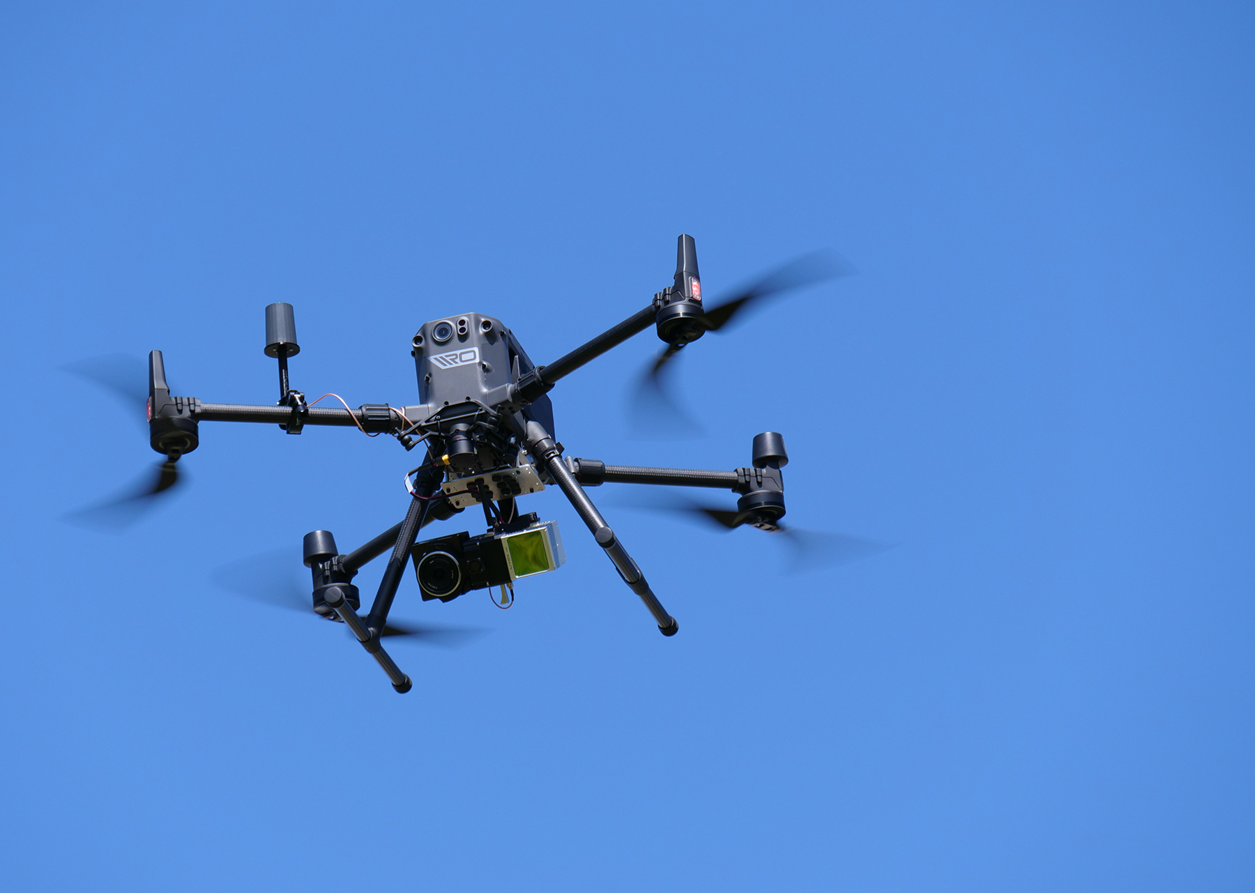
Drone LiDAR Scanning
Millimeter-accurate aerial point clouds captured by sensor-equipped UAVs.
// Nationwide Drone LiDAR
From 5,000-acre developments to single-site scans, Pro LiDAR delivers precision point clouds, DEMs, and CAD-ready contours through our nationwide network of FAA-certified pilots.
01// Capture → Process → Deliver
SVC / 01
Millimeter-accurate aerial point clouds captured by sensor-equipped UAVs.
SVC / 02
Bare-earth terrain models and contours, with licensed surveyor partners for certified deliverables.
SVC / 03
Ground-classified LAS/LAZ, DEM GeoTIFFs, SHP files, and CAD contours ready for your workflow.
SVC / 04
Long-linear capture for pipelines, transmission lines, roads, and rail.
SVC / 05
Repeat flights that document earthwork, verify grades, and keep projects on schedule.
02// Deliverables
Ground-Classified LAS/LAZDEM (GeoTIFF)CAD ContoursSHP / DBF / SHX3D Point Clouds03// Sectors
IND / 01
GCs, developers, and CM firms who need current, accurate site data.
IND / 02
White-label aerial capture that extends your crew without the hardware investment.
IND / 03
Utility-scale site assessment, from prospecting through as-builts.
IND / 04
Fast, precise topo for the most demanding site-selection timelines.
IND / 05
Plants, pipelines, and facilities mapped without shutting anything down.
IND / 06
Design-ready surfaces and point clouds that drop straight into CAD.
04// Pipeline
Step 01
Send your site boundary (KML/KMZ) and requirements.
Step 02
We ask the right questions up front so scope never drifts.
Step 03
Clear deliverables, timeline, and pricing in writing.
Step 04
A vetted local pilot is assigned and your capture window is set.
Step 05
Flight conducted with precision LiDAR sensors and ground control as required.
Step 06
Classified, QA'd data delivered in the formats your team works in.
05// Coverage
06// Start a Project
Upload a KML/KMZ of your site for the fastest turnaround.